")
")
Technology for anglers
and water sports enthusiasts

Technology for anglers Navigation Navionics + Plus Navionics+ Plus Small Holland inland
Navionics+ Plus Small Holland inland
Product no.: 5G578S2
In stock
can be shipped within 3-7 days
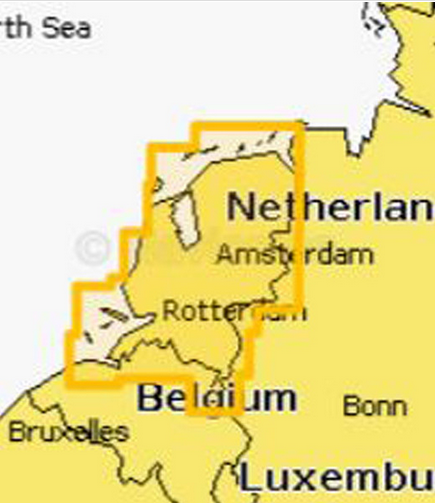
Navionics Plus Small card Holland inland
Navionics + is the ideal choice for motor boating, fishing and sailing with its highly detailed all-in-one sea and lake maps. Get the most accurate navigational data for your GPS chartplotter, an exclusive 0.5m HD bathymetric map enhanced by boaters like you, and unique local content shared by users of the Navionics app. We make thousands of edits per day, so you always have the latest maps available.
Daily updates and advanced features are included for one year.
Freshest Data
Enjoy the advantages of daily updates! Download Freshest Data free for one year down.
Sonar Chart ™
Enjoy the new exclusive Layer in high resolution and upload your sonar logs to create better maps of your area.
Cover
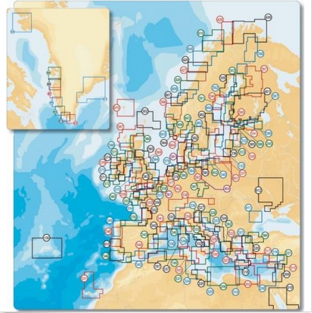
Navionics provides highly detailed maps of seas and lakes around the world. Choose from a global catalog.
Versatile
Navionics + is a versatile and innovative product. In the shops around the world, you can find it in the partially preloaded version or in the fully downloadable version. In both cases the Freshest Data service enables you to download sea and lake, and maps Layer with great flexibility for a year.
You'd like to have better cards? Drive off the boat!
Get every day the latest maps. Navionics integrates provided by individual users, sonar logs with existing data, to ensure that Sonar Chart ™ reflects the constantly changing conditions of river, lake and sea bottoms. Only Navionics accepted sonar logs of all known Plottermarken and mobile devices. Watch the video and find out in this article and the Sonar Chart ™ stories · more about it!

- intuitive operation
- Tides & Currents
- By Navionics Gold Card navaids become natural in shape and color
- Beacon and whose sectors are color coded, so that safe driving on the fairway by card is possible
- Different water depths are shown in different colors
- A safe orientation easier; good fishing spots are easily identified,
- Orientation: Heading Up or North Up or multiple waypoint above
- Non navigable river sections are marked in dark green, making it easy to distinguish from the white fairway and deeper turquoise areas
- global map library for accurate navigation
Region: Holland inland
Card Format: Micro SD Card + SD Card Adapter
Do you have questions?
Technology for anglers | About us | Payment methods
|